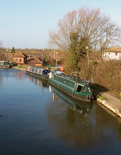
Following the redways from Newport Pagnell into the town centre will most likely take you along the edge of the Grand Union Canal, popular with barge owners and with several pubs along its edge from where you can sit with a pint watching the boats go by.
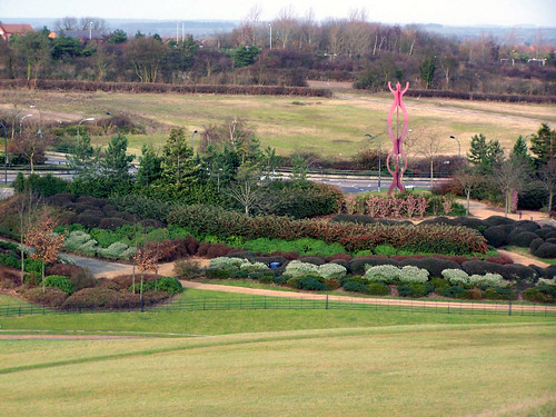
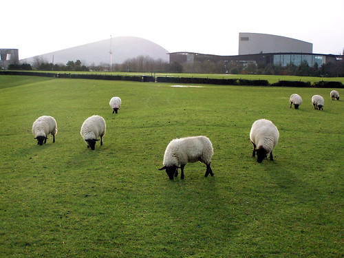
Eventually the canal path leads you to Campbell Park, a strange sort of oasis of green in the middle of the town centre where sheep happily graze whilst trying to ignore the cyclists whizzing past them and from a surprising vantage point in this flattest of towns you can look out over a good chunk of the east side of Milton Keynes.
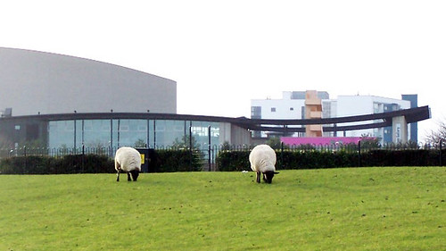
As you approach the top of the hill it becomes apparent that you really are in the centre of town as the Milton Keynes Gallery and Theatre complex becomes visible behind the fields of sheep and to their left the imposing dome of the XScape centre that houses the local indoor ski slope and skydiving arena.